NOWTAG REPORTS
Please select the report you would like to download by clicking on 'Download Report'.
The reports on this page are licensed under a Creative Commons Attribution-NonCommercial 4.0 International License.

2013
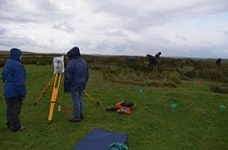
Ravensheugh Craggs Northumberland 17th to 23rd June 2013

The first survey and report that led to the formation of NOWTAG.
Ravensheugh Crags has an extremely rich and diverse range of monuments extending across
a relatively small area, and comprises a large agglomeration of rock art sites, burial
monuments, that include a very rare four poster stone circle, a series of cairnfields and
elements of a primitive field system, burnt mounds, a platform house, a stone-founded round
house, cord rigg cultivation.
A pdf version of this report is available for download
Download Report
2026
Cowburn Rigg Northumberland Report 5th to 9th June 2025
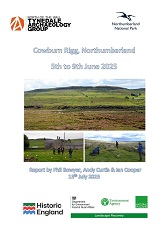
The Level 1 Landscape Survey on Cowburn Rigg Farm from June 5th to 9th 2025 was organised as part of the Hadrian's Wall Wetlands Landscape Recovery Project's integrated programme of training and fieldwork experience for community volunteers. The survey was led by members of Tynedale North of the Wall Archaeology Group (NOWTAG)
A pdf version of this report is available for download
Download Report
2025
Landscape Survey Errington Hill Head & Grottington March 3rd to 7th 2025

The farms of Errington Hill Head & Grottington are located on a high ridge (250-270m altitude)
immediately north of the line taken by Hadrian’s Wall, here under the Military Road. Both farms are west
of the route north of the Roman Road Dere Street and west of Port Gate. The north ditch of Hadrian’s Wall
can be seen close to the field wall bounding the north side of the Military Road and often to a
considerable depth. The north side of the area is bounded by a steeper slope to the north,
forming an escarpment in the E at Redhouse Crags.
A pdf version of this report is available for download
Download Report
2023
Survey and Excavation of Pitted Stack Stand Sewingshields Farm Haydon Bridge September 2023
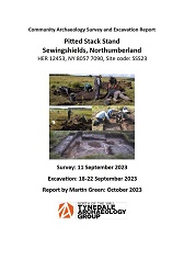
This report describes a survey and excavation carried out on a stack stand on Sewingshields Farm in
September 2023 by members of Tynedale North of the Wall Archaeology Group (NOWTAG). This is
part of a programme of research by the Group into stack stands, a little-understood class of
archaeological features that have been identified in large numbers during aerial surveys of
Northumberland uplands.
A pdf version of this report is available for download
Download Report
2023
Gibbs Hill Level 1 Archaeological Landscape Survey 21st to 23rd February 2023
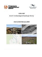
The archaeological survey
forms part of a wider environmental project being conducted on Greenlee
and St onefolds by Northum berland National Park. We are grateful to Steven Lipsco mbe the NNPA
Greenlee Project Of ficer and Chris Jones the NNPA Historic Environment Officer for their assistance in
the planning and delivery o f the surve y. We a re gr ateful to Mr Dav id Gibson for his permission and his
support for the survey..
A pdf version of this report is available for download
Download Report
2022
Excavation Of Stack Stands At Sewingshields Farm Haydon Bridge 6th to 10th June 2022
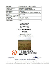
In June 2022 members from Tynedale North of the Wall Archaeology Group
(NOWTAG) with professional support from Border Reivers Archaeology Unit (BRAU) carried out the partial excavation of two stack stands at Sewingshields Farm. Stack stands are a common but little understood field monument found throughout England and Scotland. Few have been excavated and multiple
theories on their purpose and chronology have been put forward. The current project attempts to
advance knowledge of stack stands in Northumberland.
A pdf version of this report is available for download
Download Report
2022
Greenlee & Stonefolds Level 1 Archaeological Landscape Survey 21st to 25th March 2022
Between March 21 st and March 25 th members of Tynedale North of the Wall Archaeology Group
(NOWTAG) were joined by Northumberland National Park Authority (NNPA) volunteers in conducting a
Level 1 landscape survey on Greenlee and Stonefolds farms. The archaeological survey forms part of a wider environmental project being conducted on Greenlee
and Stonefolds by Northumberland National Park.
A pdf version of this report is available for download
Download Report
2022
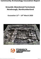
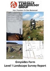
Greyside Abandoned Farmstead Excavation (updated version of 2020 excavation report)
Excavation March 2020 and March 2022.
Excavation in 2020 and 2022, following survey work in 2019,
shows that it is in fact a substantial farmstead, formed of long rectangular building with three sections.
The easternmost part has a large fireplace and flagged floor. It was probably the original longhouse farm,
with animals in one end and humans living in the other.
A pdf version of this report is available for download
Download Report
2022
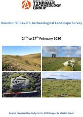
Howden Hill Level 1 Archaeological Landscape Survey 14th to 17th February 2022
This report adds to that of the March 2020 report following a second season of Level 1
Survey in February 2022 in particular to cover areas that were missed at that time or
otherwise incompletely recorded. A major innovation for the 2022 survey was the availability of LIDAR flown in 2019 and
recently made available by the Environment Agency.
A pdf version of this report is available for download
Download Report
2022
Gazetteer of Images for Report walkover Howden Hill Level 1 Archaeological Landscape Survey
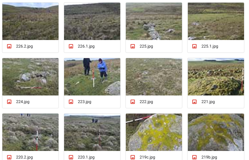
A Level 1 gazatteer of images.
jpg Images for this report is available for download. The file size is
33.25mb.
Download Images
2020
Howden Hill Level 1 Archaeological Survey February 2020
This survey examined an area of rough pasture lying to the south of the Brocolitia to Sewingshields section of Hadrian’s Wall.
The aim of the Level 1 survey was to identify significant archaeological features in the area, and to examine on the ground features that
had only previously been recorded from aerial photography. Known sites in the area include those of a wide range of eras: From the Bronze Age through Post-Medieval and Industrial Archaeology sites.
A pdf version of this report is available for download
Download Report
2020
Greyside Abandoned Farmstead Excavation March 2020
This report describes an archaeological excavation carried out in March 2020 at Greyside abandoned farmstead,
Northumberland, by members of NOWTAG. This excavation
followed on from a Level 1 Survey in 2018.
The group is a community archaeology organisation,
exploring the archaeology of upland Northumberland on the north side of the Tyne valley with a particular interest in non-Roman sites.
A pdf version of this report is available for download
Download Report
2019
Rattenraw Farm Landscape Survey May 2019
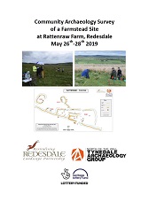
The level 3 survey followed an earlier Level 1 survey of this site, which was carried
out by members of NOWTAG in February 2018, and a Level 3 survey at the nearby
enclosed settlement R00 carried out by volunteers in October 2018. The principal
aim of this Level 3 survey was to more precisely measure and record the extent and
dimensions of the structures that comprise R35-38.
A pdf version of this report is available for download
Download Report
2019
Chattlehope Farm Landscape Survey September 2019
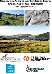
A Level 1 Survey of approximately 43 hectares of land at Chattlehope Farm, Catcleugh,
Northumberland was carried out in September 2019 by volunteers from North of the Wall
Tynedale Archaeology Group (NOWTAG) and Revitalising Redesdale Landscape Partnership
as part of the Lost Redesdale community archaeology project. The results of the survey are
discussed in this report.
A pdf version of this report is available for download
Download Report
2019
Greyside Farmstead Molehill and Test Pit Survey March 2019
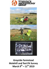
A Level 1 ('walkover') landscape
survey of a large field on Greyside Farm, north of Newbrough. In the course of this, we surveyed a
site towards the north-east of the field that had previously been recorded on the Historic
Environment Record, No. 1445647, as an enclosure with animal pens. In our 2018 survey report, we found
evidence which supports this site being re-interpreted as a settlement.
A pdf version of this report is available for download
Download Report
2018
Survey of an Enclosed Settlement At Rattenraw Farm, October 2018
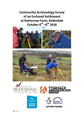
A level 3 Survey of the Iron Age/Romano-British enclosed settlement at Rattenraw Farm
was carried out from 6th-10th October 2018, by volunteers NOWTAG and Revitalising Redesdale Landscape Partnership.
The level 3 survey follows an earlier level 1 survey of this site, which was carried out by members of NOWTAG in February 2018.
A pdf version of this report is available for download
Download Report
2018
Greyside Farm Level 1 Landscape Survey February 11th-16th 2018
Between February 11th and February 16th 2018, 14 members of our communuity archaeology group Undertook a Level 1 'walkover' landscape survey of a large field on Greyside Farm north of Newbrough. The field surveyed is adjacent to parts of Carr Edge Farm on which we had conducted a similar Level 1 survey in February 2017.
A pdf version of this report is available for download
Download Report
2018
Rattenraw Farm Level 1 Landscape Survey Report February 2018
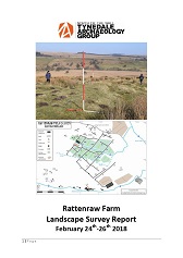
Between February 24th-26th 2018, nine members of our community archaeology group undertook a Level 1, 'walkover', landscape survey of parts of Rattenraw Farm. The survey was scheduled to run for a week with 16 volunteers due to participate, but the arrival of heavy snow brought by ‘the Beast from the East’ curtailed our original plans.
A pdf version of this report is available for download
Download Report
2017
Final Report Edges Green and Cleughfoot Farms April 2016
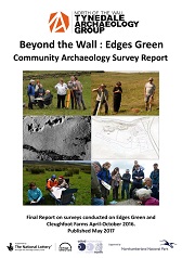
Between April and October 2016 members of NOWTAG carried out a series of landscape surveys on Edges Green and Cleughfoot farms, north of Cawfields Gap, Northumberland, as part of their ‘Beyond the Wall: Edges Green’ Project. This was funded by the Heritage Lottery Fund and Northumberland National Park.
This report published in 2017.
pdf version of this report is available for download
Download Report
2017
Tynedale Rock Art Project Part of the Edges Green Project
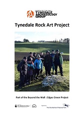
As part of our 2016-2017 Beyond the Wall : Edges Green Project, supported by funding from the Heritage Lottery Fund and Northumberland National Park Authority, Tynedale North of the Wall Archaeology Group organised a programme of volunteer visits to selected rock art sites in Tynedale to record various aspects of the decorated stones and their contexts.
pdf version of this report is available for download
Download Report
2017
Beyond The Wall: Edges Green Archive Research Group Report
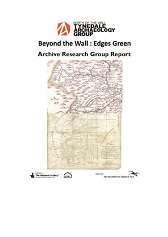
Tynedale North of the Wall Archaeology Group has been conducting a long-term study of the archaeology immediatley north of Hadrian's Wall. This desk based study forms part of the final outputs of the Edges Green study and seeks to provide a broad historical and archaeological background that helped shape the Edges Green Environment over th past 10,000 years.
pdf version of this report is available for download
Download Report
2016
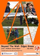
Beyond The Wall: Edges Green Level 1 Walkover Survey July 2016
#e9ba58
This year, Tynedale North of the Wall Archaeology Group (NOWTAG) is undertaking the first in what we hope will be an exciting an innovative series of projects, entitled “Beyond The Wall”. This year the focus is on the Edges Green area near Cawfields,
hence our project name: “Beyond The Wall: Edges Green”.
pdf version of this report is available for download
Download Report
2016
Edges Green Initial Feedback on Cleughfoot Level 3 Survey Oct 2016
24 hardy volunteers braved some challenging weather conditions to take part in the Level 3 detailed measurement survey on Cleughfoot Farm. Despite some difficult conditions, together we managed to complete all of the objectives that we had set for the survey.
- #33ff92 Dunsloe’ enclosure/platform
- Dunsloe’ sheiling structure
- Ventners Hall Northern Ring Ditches
pdf version of this report is available for download
Download Report
2015
Davy's Lee Enclosure Summary Report Level 1 Survey March 2015
Over the course of 4 days, 12 members conducted a Level 1 walkover landscape survey in the vicinity of Davy’s
Lee Enclosure on Sewingshields Farm. This report summarises what we consider to be the more significant findings.
pdf version of this report is available for download
Download Report
2014
Landscape Survey North of Sewingshields Craggs March 2014
The Level 3 survey was carried out by volunteers from the Tynedale Archaeology Group as part of the Altogether Archaeology “North of the Wall” survey module.
pdf version of this report is available for download
Download Report
2013
Standingstone Rigg Stone Row Volunteers Survey August 2013
Northumberland National Park and the Altogether Archaeology
Project organised a professionally led volunteer survey at the site of a stone row alignment, a type of feature
usually regarded as Neolithic.
pdf version of this report is available for download
Download Report